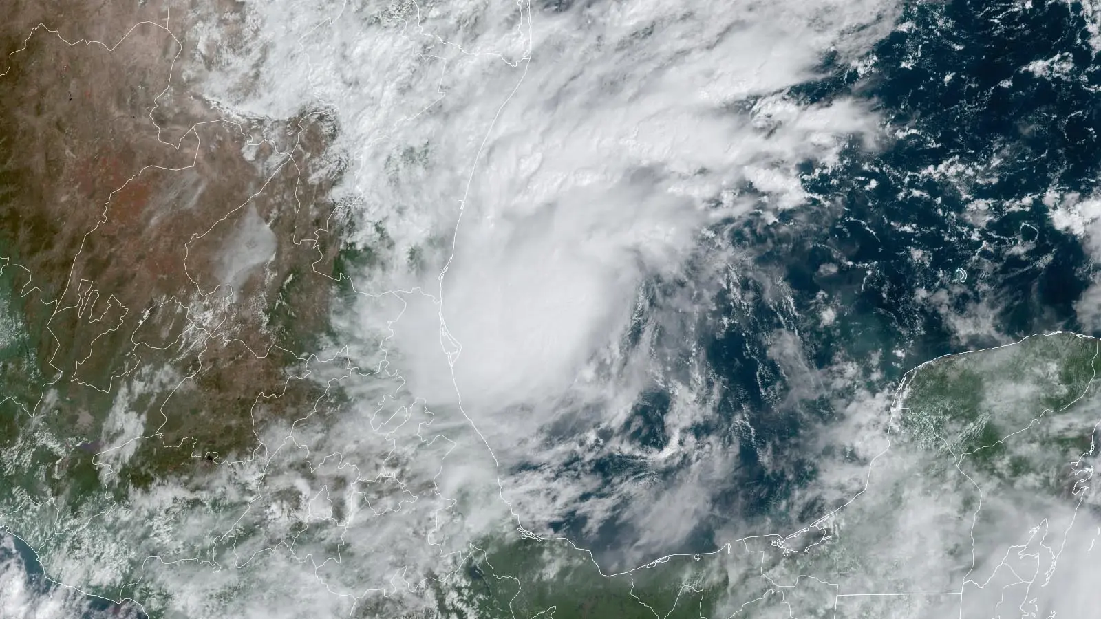


Conditions will be very favorable for intensification of TD 14 through Tuesday. Ocean temperatures in the western Gulf of Mexico are record-warm – 30-31 degrees Celsius (86-88°F), about 1-2 degrees Celsius above average. Moreover, a substantial amount of warm water extends to great depth (i.e., the ocean has a high ocean heat content). Wind shear is predicted to be light, less than 10 knots, and the atmosphere will be very moist, with a mid-level relative humidity of 70-80%. These conditions should allow TD 14 to become Tropical Storm Milton by Sunday, and Hurricane Milton by Monday.
On Tuesday and Wednesday, when TD 14 will be in the central and eastern Gulf of Mexico, the intensity forecast grows more complex. There will be plenty of dry air to the north that the storm will begin wrapping towards its core, though it currently appears that wind shear will remain low, and this dry air will have trouble penetrating into the storm’s core. Ocean temperatures along TD 14’s track will drop by about a degree Celsius, but they will remain more than ample to support a hurricane, and the storm will be passing over a region with warm water that extends to great depth—the Loop Current. TD 14 will be passing over the same stretch of of ocean that Hurricane Helene traversed at the end of September, but Helene’s passage did not cool the waters of the eastern Gulf very much, since it was moving at a high forward speed. As TD 14 approaches Florida, it will be near a region of strong upper-level winds to its northeast, associated with the jet stream, which will provide a very favorable upper-level outflow channel (as well as increased wind shear).