

You must log in or register to comment.

I kind of assumed most people working on Google maps are car first people, and the transit stuff was a second class concern. This isn’t based on any facts, just a gut feeling.
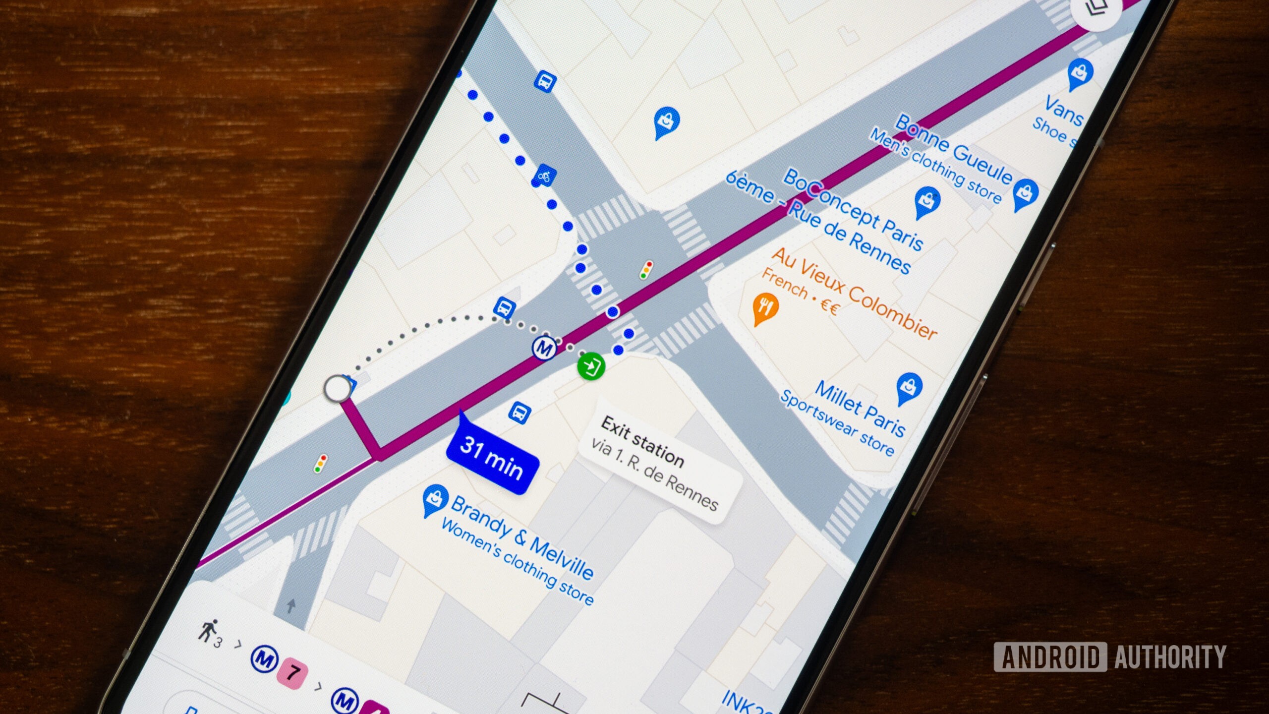
The most annoying things for me are how it’s kind of hard when looking at the map to see what stops are where. Like, I have to fuck with the zoom to get it to show me DeKalb Ave is there, and then it doesn’t even tell me which trains stop there.
And forget about getting any useful bus info. I know generally where the b41 goes. Why isn’t it easy to see on the map?
Yes, it’s so freaking annoying that I’ve to constantly fiddle with zoom levels just because I want my fucking map to show me the names of the stations and streets. I guess the technology isn’t there yet. But somehow, Google has figured out how to constantly display the names of businesses which have paid them.
Anyway, I’ve been using more and more of Open Street Maps with the Organic Maps app, and it’s a refreshing experience
Is your feeling based on the fact that you can only get driving directions offline (not even walking!)?
These all seem like nitpicks. Maps transit is still the best way to figure out to go between points and it works in multiple countries with the same interface.
Yea, like, basically the complaints boil down to, why am I not being handheld throughout the process more?
For me I just need the general direction and what bus/train line direction to take.
Feels like people in general are getting worse at basic spatial awareness.
The missing features are very basic things, like showing stops on a map or which location within the stop the bus stops at.
That’s just missing data, I don’t have that issue at all.
Is it worse than the alternative? I’m no Google loyalist these days, but if you’re like me you have no idea what the alternative transit guide even is!

I use the app’s by local transit services and organisations (9292, NS) and so far that’s working out pretty well.
They don’t have the reminder to indicate when your stop is coming up, but the last two or three times I tried to use that with Google Maps it just didn’t warn me, so I don’t think I’m missing out on much.
There are a bunch of open source transit apps as well, but little work as well as Google does when it comes to planning trips and finding alternatives. Sometimes there just isn’t any open data about public transit and only a few shitty commercial apps have up to date information, but you could always check Google if the routes they suggest seem inefficient or too good to be true.
I almost exclusively use the app called Transit. It uses OSM data and shows live tracking for buses and trains (at least it does in my city). It’s good for figuring other options like walking, cycling, bike share.

Citymapper is the gold standard. Osmand is excellent, except for delays. Many countries have third party top-tier apps for transit and train navigation – Trainline comes to mind in the UK, but it varies by region.
I usually check navigation on both google maps & citymapper and follow the one that give the most sane directions.

That’s why we need openstreetmap. Its made by people in the community so it is as good as the people who use it.
It’s still the best experience for me because it’s the only one.