

Today, locating the hottest parts of cities with precision is critical for guiding efforts to contend with heat’s dangerous effects. As climate change brings more intense, frequent and longer-lasting heat waves, heat-related illnesses and deaths also climb. High-resolution maps can alert officials to spots facing the greatest risks, so they can plan. It’s especially important when heat risk overlaps with poverty, where communities may have less access to air conditioning and fewer ways to stay cool.
Maps pieced together by the sensors “will help us be able to target, down to the street level, where we can plant more trees to help people better endure the hotter days of summer,” says Brian Beffort, sustainability manager for Washoe County, home to the Reno-Sparks metro area. The maps will also guide where to focus efforts to weatherize buildings so they require less energy to cool.
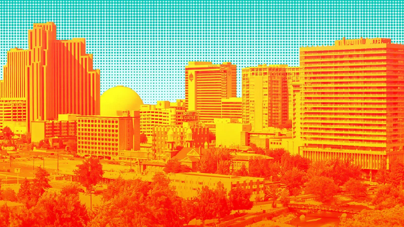
Campaigns to record temperatures across city neighborhoods and create better heat maps are on the rise. Reno is one of more than 80 U.S. communities that since 2017 have completed a heat mapping project with the aid of citizen scientists, efforts overseen by the National Oceanic and Atmospheric Administration. NOAA has also supported a few international mapping efforts in cities such as Nairobi, Kenya, and Salvador, Brazil.
Local officials are using the data to plan how to adapt to, and fend off, rising urban temperatures. Some have begun to plant trees, install reflective materials and take other measures to cool the hot spots.