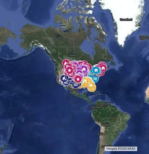


awhile back i did a brief post on native names for major cities for the website Cohost. anyways, i’ve spent approximately the past week assembling place names for a much more comprehensive map–as of writing, more than 1,000 individual points from approximately 60 different sources are listed–and you can find that at the submission link here.
this is what i’m calling v. 0.1 of this project and pretty much the moment this post goes up i’ll be back to adding new names. because this is such a large project i’ve only gotten around to a handful of states in great detail—but rest assured, a lot more is coming. the next big part of the map in progress is the Ojibwe sphere of influence which should knock out most of the Great Lakes area.
any errors or corrections you happen to notice are appreciated

This is really cool! I’m in Eastern Canada and a lot of my favourite place names around here have Indigenous origins (in my neck of the woods, mostly Mi’kmaq words butchered into French and occasionally further butchered into English).
One example is Bouctouche, from the Mi’kmaq Tjipogtotjg meaning “Great little harbour”. Contrast with nearby Richibucto, from French Richibouctou which is itself from Mi’kmaq Elsipogtog (“river of fire”).

@alyaza Good luck with your project, and good luck with the European names I guess.
We used to have this nasty habit of frequently swapping entire regions between ourselves for hundreds of years, colonizing each-other and doing away with each other’s historical and ethnical legacy each time the land changed hands. It took us 2 World Wars to chill out a bit.

Why not OpenStreetMap or leaflet.js? Google is proprietary and you can’t easily share your data.
Do you also do places outside of the US? There’s lots of names of German cities which are not on maps.
i cannot begin to tell you how uninterested i am in having a discussion about what platform to use on this post, holy shit not everything has to be about your axe to grind with [Company]
This doesn’t answer my question and you’re being rude, as usual.
It’s easier to use this in other projects when the license is free and you have a data format you can export.
You’re intentionally making it harder to do anything useful with your data.
If you don’t care, that’s fine. If your reason is that other platforms are hard to use, that’s also a fine reason. If you like to suck Google’s cock, that’s also valid. But answering with an empty comment is less useful than not answering at all.
Next time please just ignore the question if you’re uninterested.

Honestly, I understand the reaction. I’m sure you didn’t mean it this way, but I have seen a number of times on beehaw and constantly on other lemmy instances situations where someone will post something cool that they did, and the comments are all complaining about the poster not using FOSS software to do that thing. I understand that Lemmy is very popular with FOSS communities but sometimes people just want to make a thing and they don’t want to spend all of their time wrestling with the tool they use to make it. I’m sympathetic with the idea of FOSS, but sometimes the gatekeeping is very off-putting.
And, FWIW I believe that Google Maps exports to KMZ/KML which are open standards for geospatial data.
I also understand the reaction, it was still a bit rude and could have been omitted from public record.

For the interest of interoperability though; It would be cool to see this map exported/migrated to a supported interoperable format so that people may, if they choose, view it on the mapping engine of their choice.
It’s definitely not a huge priority though; but a nice-to-have that we might hope for by version 1.0 at least.
Yeah, that’s a good idea. I don’t know if you can easily export things from Google, but at least as a backup for the future it’d be nice to simply throw a file somewhere people can download.
EDIT: seems to be possible: https://support.google.com/mymaps/answer/3109452

This is awesome! I had no idea that Boston was based on the original name for the area!

One you could add (I think) is the Androscoggin River.
oh, fascinating, looks like i missed that one (or both of the abenaki dictionaries i have somehow didn’t list it!)
This is awesome! I already knew that many names in the Midwest were anglicized native names, but I didn’t realize the same was true of the southeast.
A really cool project